
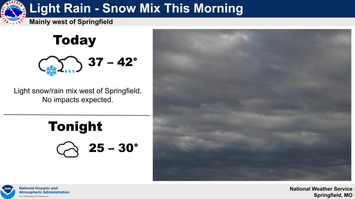
Minimal impacts are expected from a mix of light rain and snow that may still fall west of Springfield Monday morning.
Temps have been in the mid to upper 30’s across the area through 7 a.m., with any precipitation west of the Springfield metro area falling in the form of light rain.
Forecasters say there will be dry air to overcome, with precip chances dropping off quickly as you head east of Interstate 49.
Areas along and east of Highway 65 are expected to see little if any rain or snow from this system.
The weather service says confidence is high this will be a very minimal snowfall event.
Attention then turns to later in the week as an arctic blast moves into the area Thursday morning, sending temps well below freezing, dropping from the 20’s early in the day to the single digits by late in the day.
Wind chill readings could potentially be as low as 25 to 30 below zero by Thursday night into Friday morning, creating a dangerous cold spell.
Highs in the single digits are likely on Friday with a slow climb upward each day.
As the arctic front drops into the area Thursday morning, the weather service says a surface low will likely develop near or just south of the area.
While the exact placement of this low is uncertain, there is currently an 80% chance of greater than two inches of snow in southwest Missouri, with higher amounts expected toward central Missouri and the St. Louis area.
There are increasing chances for at least minor impacts from Thursday’s snow as it would occur in a very cold airmass with a cold ground.
We’ll keep you up to date with the latest weather information and any advisories or warnings issued by the National Weather Service on 93-3 A-M 560 KWTO.