
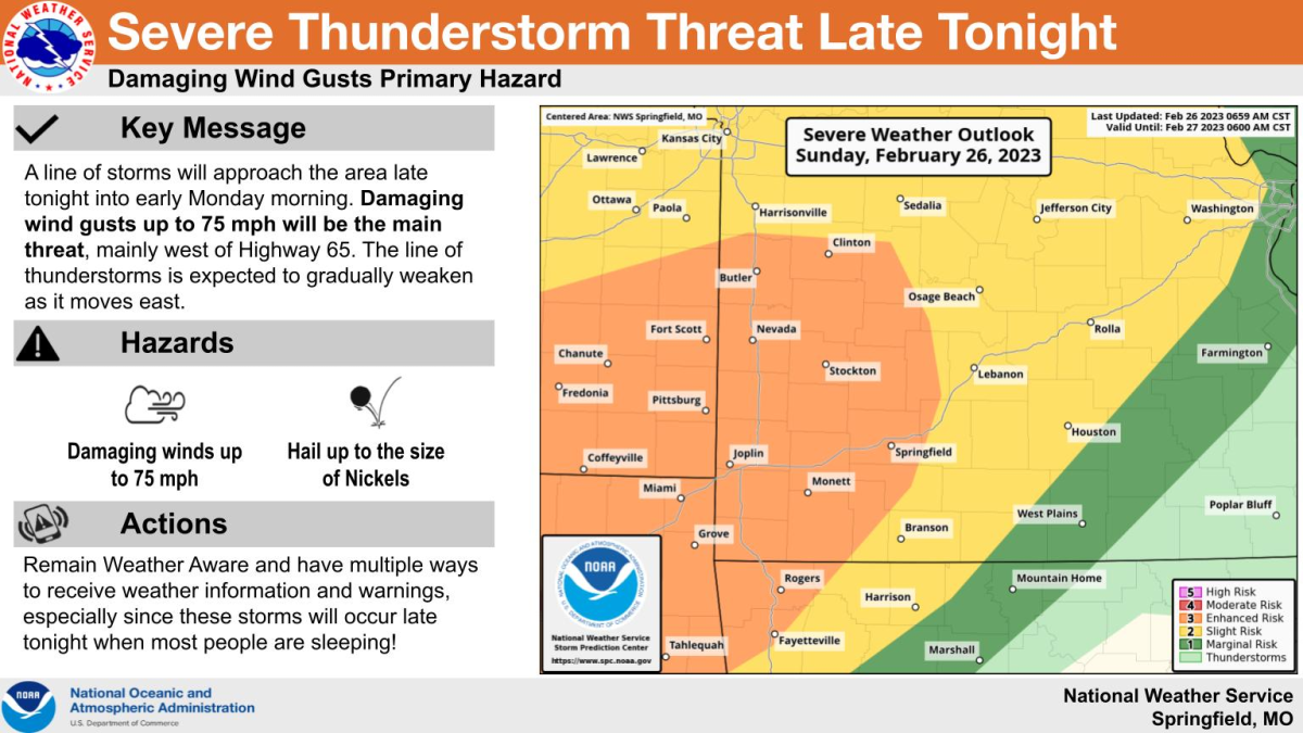
A line of strong to severe thunderstorms will move through the Ozarks late Sunday night into Monday morning.
The National Weather Service says the primary hazard will be damaging straight line winds of 60-75 miles per hour, generally along and west of Highway 65, before the line weakens.
The threat then extends further into portions of central Missouri.
Small hail the size of nickels will also remain a lower end threat, with the tornado threat very low. The threat for flooding is also very low.
Forecasters say there will be the potential for downed trees and power lines, with power outages, as well as damage to roofs and siding.
The storms will move from west to east across the area very quickly at 50 to 60 miles per hour, primarily from 11 p.m. through 4 a.m., with the line of storms approaching the Highway 65 corridor by midnight to 2 a.m.
There are still some question marks with this system.
The weather service says certainty is very high that the line of storms will occur and confidence is high they will produce 50 to 65 mile per hour winds, with some uncertainty regarding how widespread 65 to 75 mile per hour winds will be across western/southwest Missouri.
Winds will also be high outside of thunderstorms, with a Wind Advisory in effect from 6 p.m. Sunday to noon on Monday.
Southwest winds will be 20 to 30 miles per hour, with gusts up to 50.
We’ll keep you up to date with the latest watches and warnings on 93-3 A-M 560 KWTO.