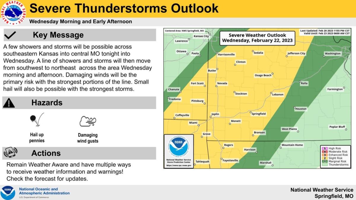
Damaging winds and up to penny size hail will be possible with storms expected to develop across the Ozarks Wednesday morning into the early afternoon.
The National Weather Service says a few showers and storms will be possible across southeastern Kansas into central Missouri Tuesday night into Wednesday.
A line of showers and thunderstorms will then move from southwest to northeast across the area Wednesday morning and afternoon.
Damaging winds will be the primary risk with the strongest portions of the line.
Instability will be rather weak, but there will be strong shear to support the possibility of severe thunderstorms.
We’ll keep you updated with any watches and warnings on 93-3 A-M 560 KWTO.
 93.3 KWTO Keeping Watch Over the Ozarks

