
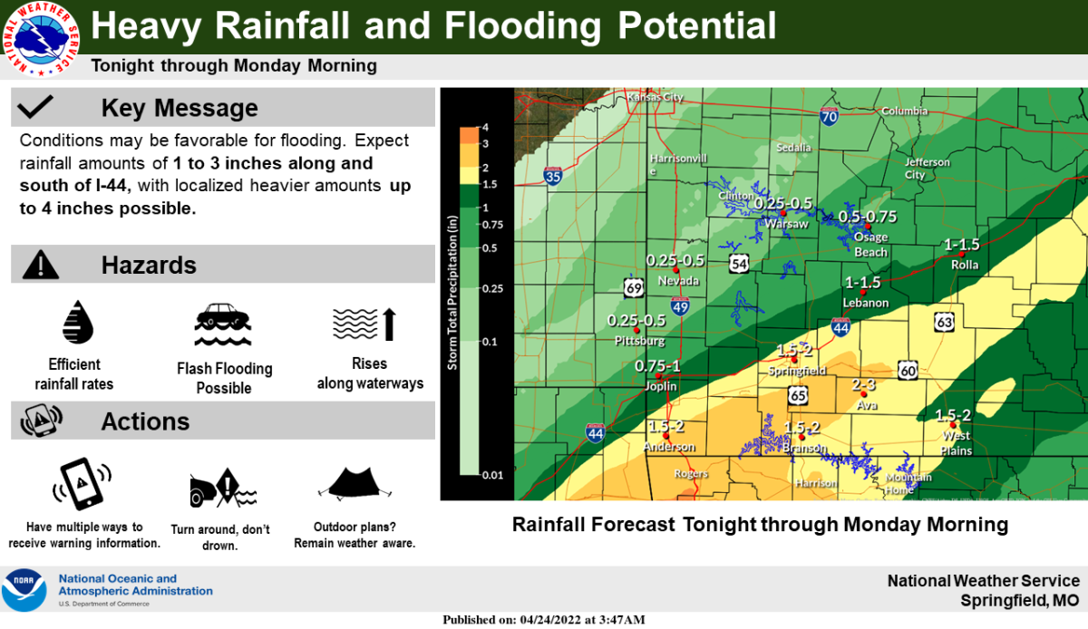
Several rounds of showers and thunderstorms are expected in the Ozarks through Sunday night.
The National Weather Service says the heaviest rain totals of two to three inches will be along and south of the interstate 44 corridor, with a Flood Watch is in effect until 7 a.m. Monday.
Locally higher amounts are possible.
The highest rain totals will occur from late Sunday afternoon through Sunday night.
Forecasters say a few strong to marginally severe storms will be possible late Sunday afternoon and evening over the southern Ozarks into south central Missouri, generally along and south of a line from Branson to Rolla.
Some isolated gusty winds and small hail may be possible within the strongest storms.