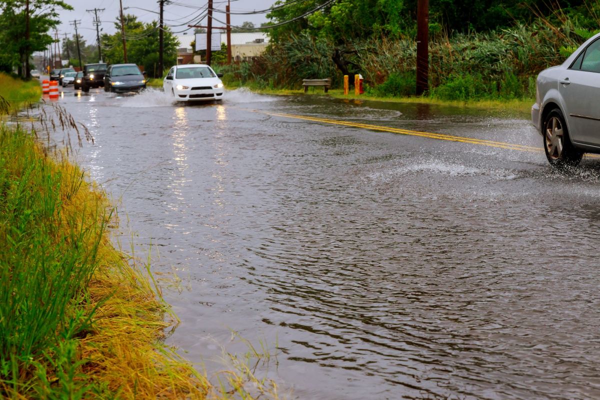
Between two and five inches of rain have fallen in areas along and south of I-44 from Thursday night into Friday morning, creating flash flooding leading to road closures.
Click here for road closures due to flooding with the MoDOT Traveler Information Map
The National Weather Service says a number of low water crossings have flooded.
Rainfall reports range from between 1.75 and two inches in the Springfield area, to between 4.4 and 4.8 inches in northern Christian County.
We’ve had around 1.5 inches of rain at the Springfield Branson National Airport.
Some of the roads that closed overnight Friday morning include:
Highway 37 northwest of Cassville
Highway W east of Wheaton
Highway FF northeast of Fordland
Highway Z southeast of Fordland
Highway BB northwest of Sleeper (Laclede County)
Highway B southwest of Northview
Highway K in northern Aurora
Damage was also reported from severe thunderstorms that moved through areas south of Springfield Thursday night, including a large tree blown down on Saddlebrook Drive and another one on Highway A near Chestnutridge.
The Missouri Department of Transportation is urging, in a news release, for drivers to use caution with so many roads closed:
Southwest District – Heavy rain and flooding have hit Southwest Missouri overnight, with the National Weather Service in Springfield reporting 2-5 inches of rain across the region. The Missouri Department of Transportation currently has more than 30 roads closed due to flooding across the 21 counties in the Southwest District. Please do not remove barricades or drive through water over the road. Use alternate routes and refer to MoDOT’s Traveler Information Map for updates on road conditions and closures.
Barricades are put in place for motorists’ safety, yet MoDOT and law enforcement officials report they continue to see drivers either maneuver around the roadblocks or move them to get through. Flooded roadways present hidden dangers, as the roadway may have washed away, collapsed, or be hiding hazards such as sharp objects.
Drivers should also be alert to the hazards of fast-moving water, as many underestimate the force which storm waters move. Six inches of storm water could knock over a person, and 12-18 inches can carry away a car or truck.
“Moving a barricade is dangerous for the person doing it and also puts others at risk by removing the warning sign,” said Darin Hamelink, District Maintenance Engineer for MoDOT’s Southwest District. “Whether driving or walking, any time you come to a flooded area or barricade, remember the saying: turn around, don’t drown.”
Once flood waters have receded, MoDOT crews will need time to clear debris and inspect for any damage before deciding if the roadway is safe to open to traffic. Once the road is deemed safe, crews will remove the barricades and reopen the route for traffic. Please exercise caution and have patience for crews working in the area.
 93.3 KWTO Keeping Watch Over the Ozarks

