
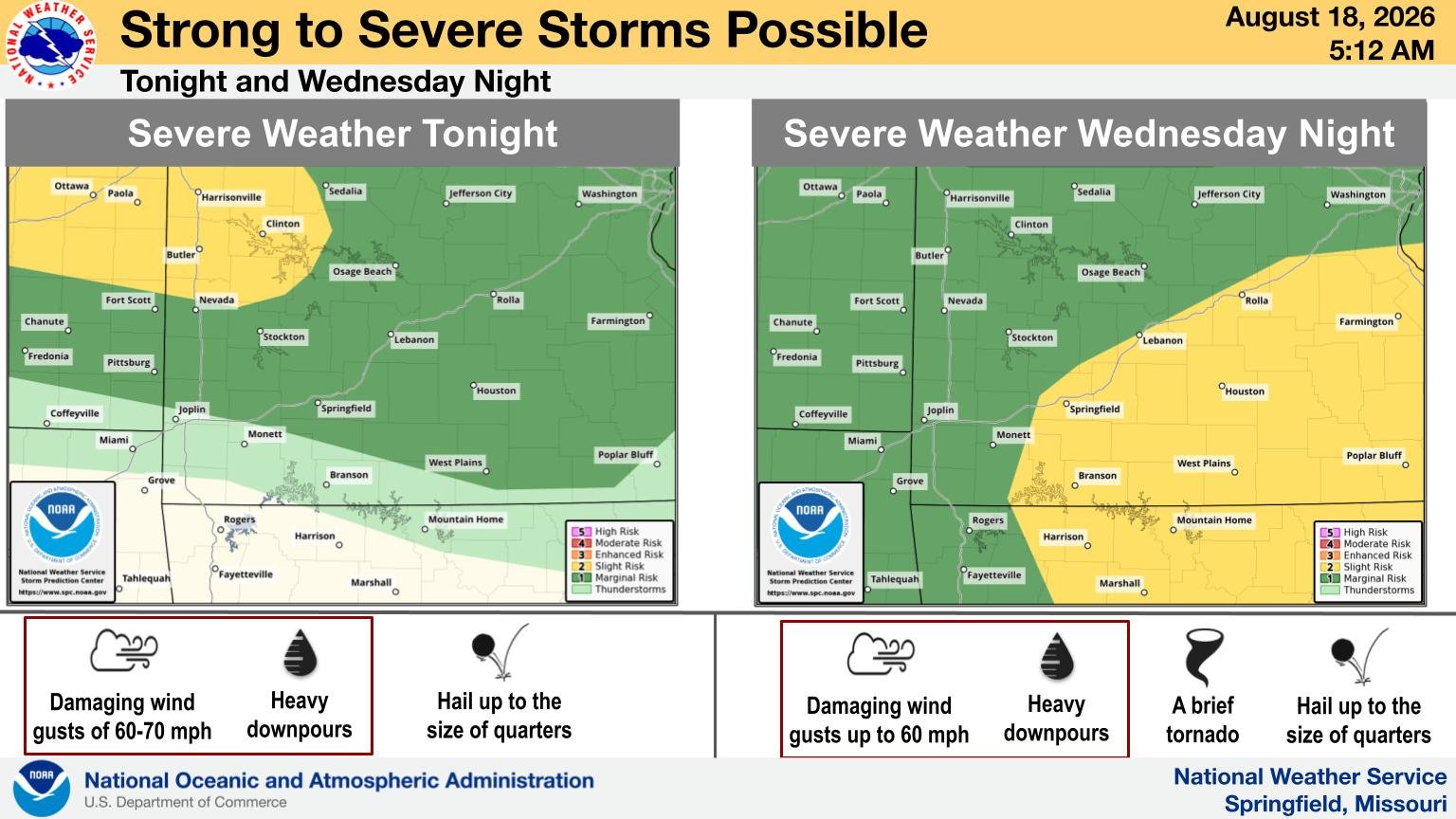
What We Know: Another round of severe weather could be headed toward the Ozarks.
What It Means: The National Weather Service in Springfield says thunderstorms are expected tonight, with another round possible Wednesday evening
For tonight, the better chance for severe storms will be across central Missouri. The overall threat ranges from a Marginal, or level one out of five, to a Slight, or level two out of five, risk.
What’s Next: The threat becomes more widespread Wednesday. Strong to severe thunderstorms will be possible across the region, with damaging winds and hail among the concerns. Forecasters say a brief tornado will also be possible with Wednesday’s storms.
For Springfield, Wednesday will remain hot, with temperatures climbing into the mid-90s and heat index values around 103 before storm chances increase Wednesday night.
Residents across the Ozarks should keep an eye on the forecast as the timing and location of the strongest storms become clearer.
(Photo provided by the National Weather Service in Springfield)