
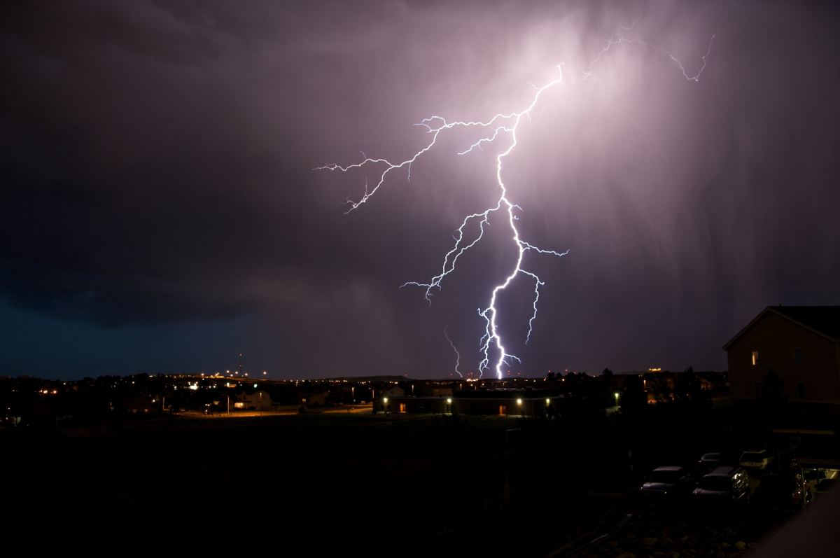
Severe thunderstorms producing damaging winds, large hail and intense rain and flash flooding hit areas along and west of Highway 65 Saturday night.
Parts of St. Clair, Cedar, Hickory and Polk Counties were under tornado warnings during the 7 and 8 p.m. hours.
The National Weather Service issued the tornado warnings based on radar-indicated rotation, and we’ve had no reports on major damage or injuries.
Parts of nine counties went under flash flood warnings as rainfall rates between 1-3 and 2-4 inches in one hour caused dangerous and life-threatening flash flooding in Greene and Christian Counties.
Emergency management in Greene County reported numerous water rescues in Springfield in the 10 p.m. hour Saturday.
The Severe Thunderstorm Watch for areas along and west of Highway 65 was allowed to expire at midnight Saturday night.