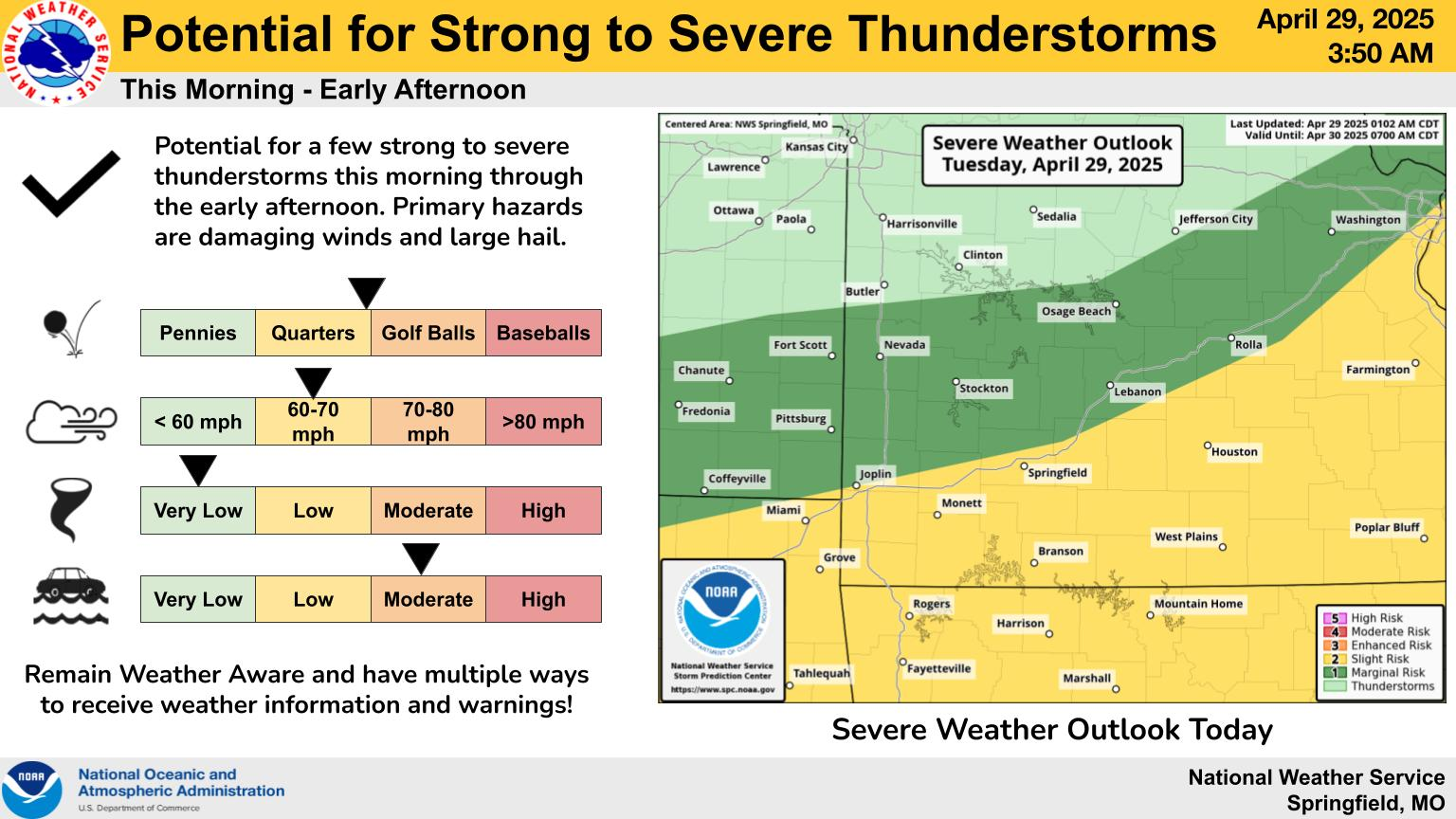
Large hail and damaging winds are possible with thunderstorms that move through the Ozarks through early Tuesday afternoon.
The National Weather Service has issued a Severe Thunderstorm Watch until 10:00am Tuesday for Greene, Christian, Barry, Dade, Lawrence, Stone, McDonald, Newton, Jasper and Barton Counties.
Hail up to the size of quarters and wind gusts of 60 to 70 miles per hour will be possible with these storms, which are moving into the area from northeast Oklahoma and eastern Kansas.
In addition, a Flood Watch is in effect through Thursday morning for all of the Ozarks, with multiple rounds of showers and thunderstorms expected through Thursday evening.
Widespread amounts of 1 to 3 inches of rain are expected, with localized amounts up to 4 to 6 inches possible within areas that see multiple rounds of heavy rain within thunderstorms.