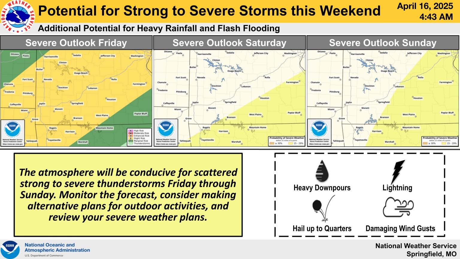
The National Weather Service says there’s increasing confidence in the potential for strong to severe thunderstorms from Friday through Easter Sunday.
Forecasters say the atmosphere will be conducive for scattered strong to severe storms Friday evening and Friday night, with large hail and damaging winds being the biggest threats.
Much of southwest Missouri is under a Level 2 “Slight Risk” for severe storms on Friday.
For Saturday, the southern and eastern Ozarks are under a Slight Risk for severe weather, and on Sunday, areas east of a line from Branson to Lebanon have the best chance of getting severe thunderstorms.
There’s the additional potential for heavy rainfall and flash flooding through the holiday weekend, with remaining uncertainty in exact details of the heaviest rainfall locations and amounts.