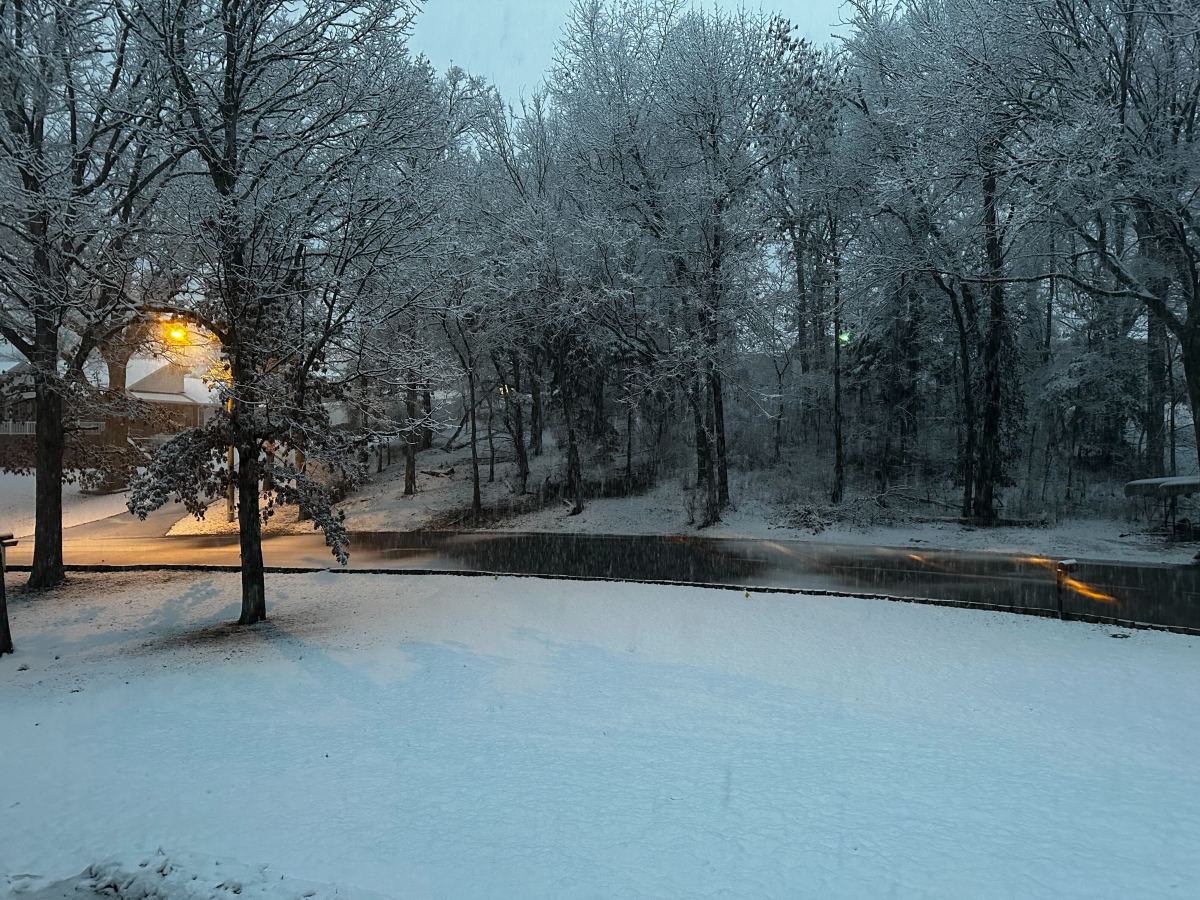
UPDATE: 10:45 a.m. Monday: Some areas of southwest Missouri have already received a half foot of snow from the winter storm.
Here are amounts received by the National Weather Service, as of 10:45 a.m.
6.0 inches—Monett
6.0 inches—Madry (Barry County)
5.5 inches—north of Galena
5.5 inches—Aurora
4.0 inches—Cassville
4.0 inches—Joplin
3.5 inches—Stella (Newton County)
3.5 inches—Noel (McDonald County)
3.3 inches—Niangua
3.0 inches—-southwest Springfield
3.0 inches—-Exeter
3.0 inches—Highlandville
3.0 inches—Pineville
2.4 inches—north of Northview (Webster County)
2.3 inches—Conway
2.0 inches—Strafford
2.0 inches—Mansfield
2.0 inches—Cape Fair
Moderate to heavy snow has made roads slick across the Ozarks Monday morning as a band of snow impacts areas primarily along and south of I-44.
A Winter Storm Warning remains in effect until 6 p.m. Monday for Christian, Barry, Lawrence, McDonald, Newton, Stone and Taney Counties to the south and west of Springfield, where 3 to 6 inches of snow are possible.
The rest of the Ozarks, including Springfield, are under a Winter Weather Advisory through 6 p.m.
Forecasters are expecting between 1 and 4 inches in the advisory area, with sharp drop-offs in snow amounts to the north of Springfield.
While ground temps have been warm and some of the snow is melting as it falls, a narrow band of moderate to heavy snow will lead hourly snowfall rates of 1-2 inches per hour.
By 7 a.m., we had reports of 3.5 inches of snow on the ground in McDonald County, in extreme southwest Missouri.
As the band moves east into south central Missouri, it will weaken and temps will be warmer, so little to no snow accumulation is expected in that region.
Here’s the latest packet on the winter storm from the National Weather Service in Springfield.
 93.3 KWTO Keeping Watch Over the Ozarks

