
Much of the Ozarks is under a threat for strong to severe storms on Friday from the morning hours into the afternoon and early evening.
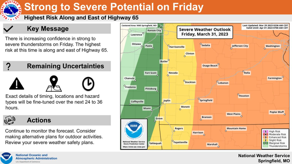
The National Weather Service says at this time, the highest risk area is along and east of Highway 65, where there’s a level three “enhanced risk” for severe storms.
Areas west of Highway 65 are under a level two “slight risk.”
Forecasters say the exact details of timing, locations and hazard types will be fine-tuned over the next 24 to 36 hours.
There are a couple of different scenarios, with the first having thunderstorms develop Friday morning, which will lead to a severe weather potential along and east of the I-49 corridor.
The second scenario has thunderstorms developing early Friday afternoon, which would lead to a severe storm potential along and east of Highway 65.
The weather service says there is a low flooding potential with this system.
We’ll keep you up to date with the changing forecast and any watches and warnings on 93-3 A-M 560 KWTO.