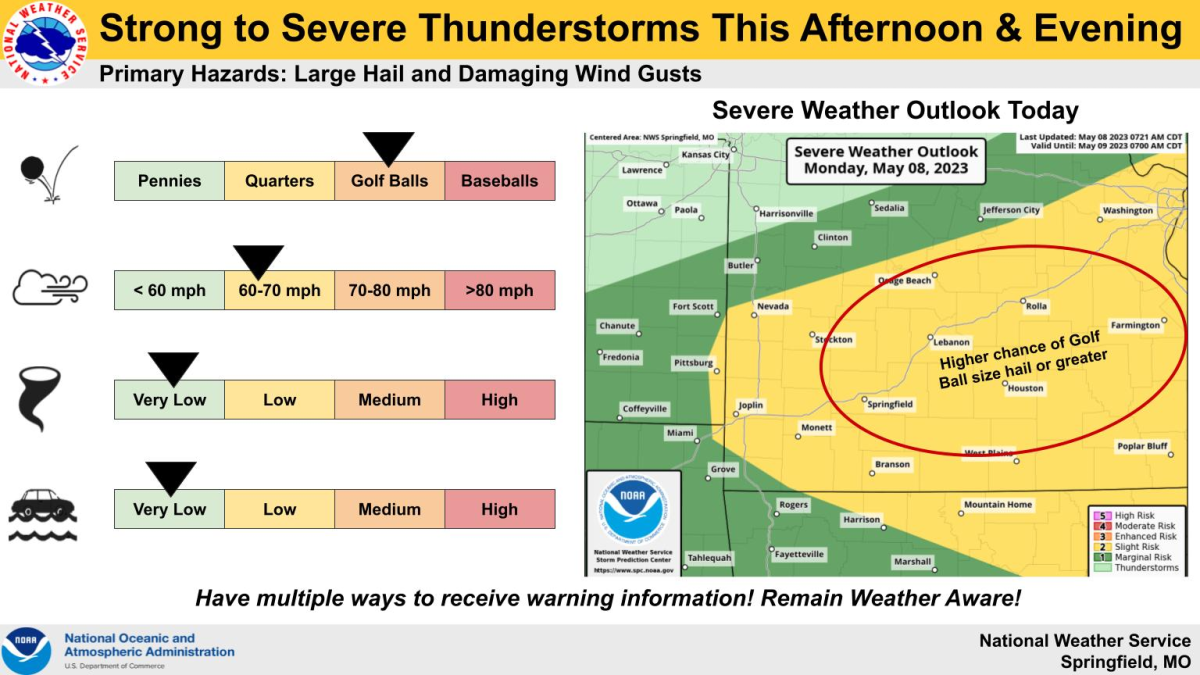
After non-severe thunderstorms moved through parts of central Missouri and the eastern Ozarks Monday morning, we’ll be keeping our eyes to the sky for additional thunderstorm development late in the afternoon and evening.
The National Weather Service says the strongest of the storms will be capable of producing damaging wind gusts and hail up to two inches in diameter.
Locally heavy rainfall will also be possible.
Much of southwest Missouri is now under a Level 2 “slight risk” for severe storms.
We’ll have severe weather updates for any watches or warnings issued by the National Weather Service on 93-3 AM 560 KWTO.

