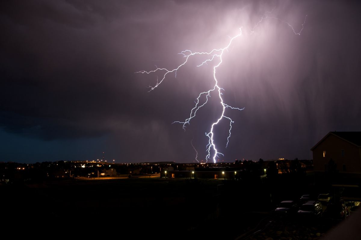
UPDATE: Severe storms have moved through southwest Missouri late Sunday night into Monday morning, bringing damaging winds, hail and torrential rains, causing flash flooding.
We’ve had reports of a 61 mile per hour wind gust southwest of Pierce City around 9:15 p.m. Sunday, with quarter size hail reported just north of Monett at 9:20 p.m.
A Flash Flood Warning is in effect for southern Barry and southern McDonald Counties to the southwest of Springfield until 6:00 a.m. Monday. Between one and three inches of rain had fallen in these areas by 12:15 a.m. Monday.
A Flash Flood Warning is in effect for northwestern Barry, southern Lawrence and Newton Counties to the south and west of Springfield until 4:00 a.m. Monday. Between two and five inches of rain had fallen in these areas by just after midnight.
A Flash Flood Warning is in effect for northern Barry, southeastern Lawrence, McDonald and southern Newton Counties until 4:00 a.m. Monday. Between two and four inches of rain had fallen just after midnight in the warned area.
We’ve had reports of homes/buildings filled with water four miles north of Goodman in Newton County, with street flooding in Seneca and east of Neosho, with several streets closed and some vehicles stranded.
Thunderstorm wind damage reports include a downed tree taking down power lines off Highway 413 in Reeds Spring around midnight, with a number of power outages reported in the Reeds Spring area.
One inch tree limbs were broken and shingles blown off roofs in Forsyth late Sunday night, and we received reports of quarter size hail just north of Monett.
Original Story:
More severe weather is on the way to the Ozarks, with all modes of severe weather possible Sunday evening into the overnight hours.
A Severe Thunderstorm Watch is in effect for all of southwest Missouri until 2:00 a.m. Monday.
The National Weather Service says damaging wind gusts up to 70 miles per hour, large hail up to the size of golf balls and a few tornadoes are all threats with this system.
Widespread rainfall amounts between two and four inches, with locally heavier amounts, will lead to the potential for flash flooding.
A Flood Watch is in effect for a large part of the Ozarks from 7 p.m. Sunday through 7 a.m. Monday.
Listen to 93-3 A-M 560 KWTO for updates on any warnings issued by the National Weather Service, along with damage reports from the field.