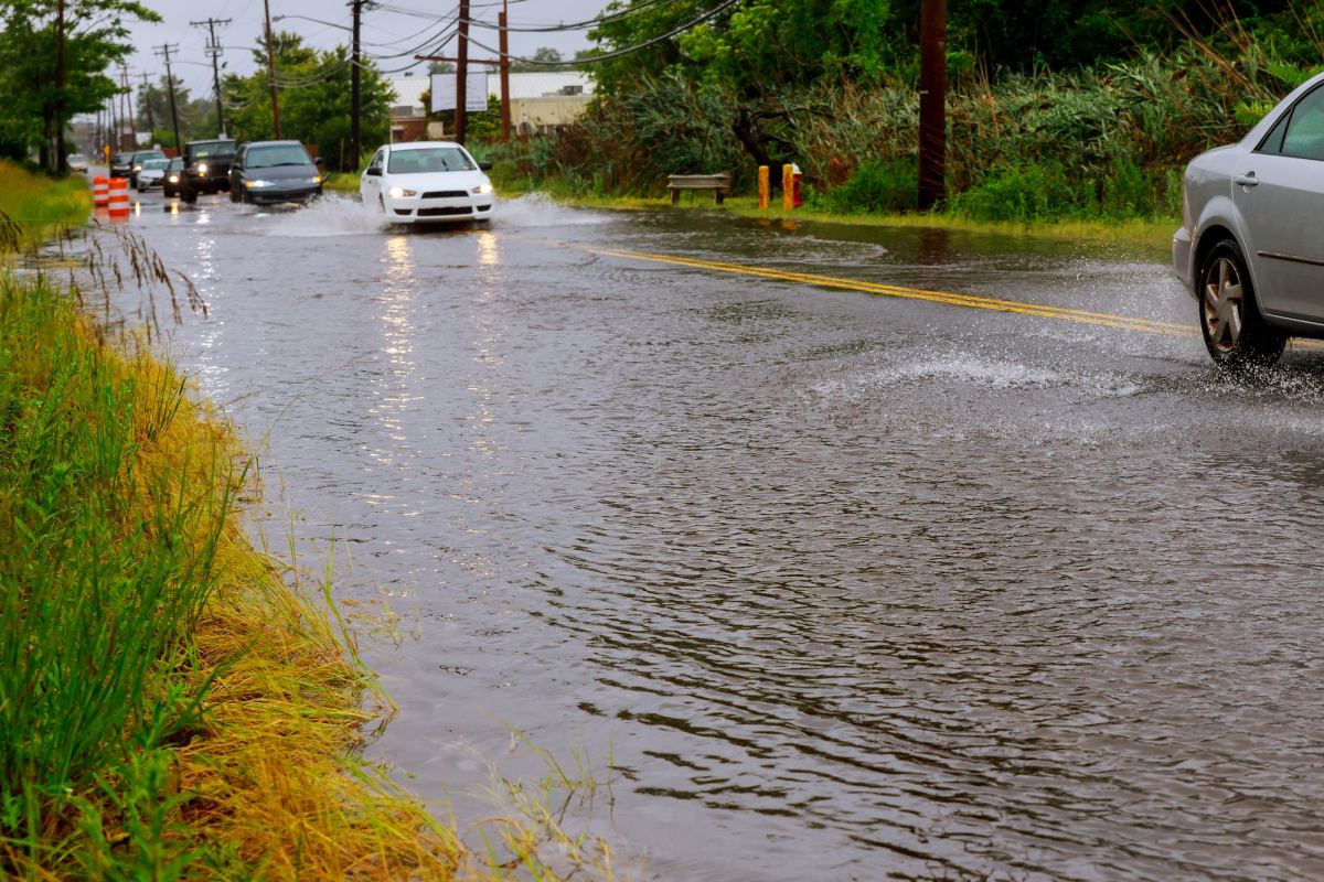
Heavy rains led to flash flooding in the Springfield metro area and other parts of the Ozarks Wednesday morning.
The National Weather Service says between 4 and 7 inches of rain had fallen in western Taney County by 7:00am Wednesday.
We had reports Roark Valley Road was closed in the Branson area just before 7:00am, with 4.9 inches of rain in one hour in that city.
Taney County dispatch reported flooding and road closures.
Get road closings from around the Ozarks here with the MoDOT Traveler Information Map.
We had numerous Flash Flood Warnings issued by the National Weather Service Wednesday morning, including western Taney County, Greene, Christian, southwestern Webster, southwestern Douglas, Stone, Jasper and northern Newton Counties.
Most of those warnings expired before noon.
A flood warning remains in effect for Taney County until 7pm Wednesday. Just before noon, the Missouri Department of Transportation reported flooding from the previous heavy rain. Between 4 and 8 inches of rain had fallen in a 12-hour period in the Branson and Hollister areas, with Bull Creek continuing to have elevated water flows.