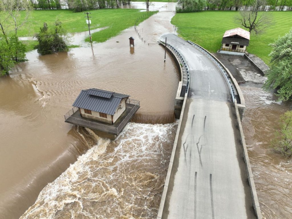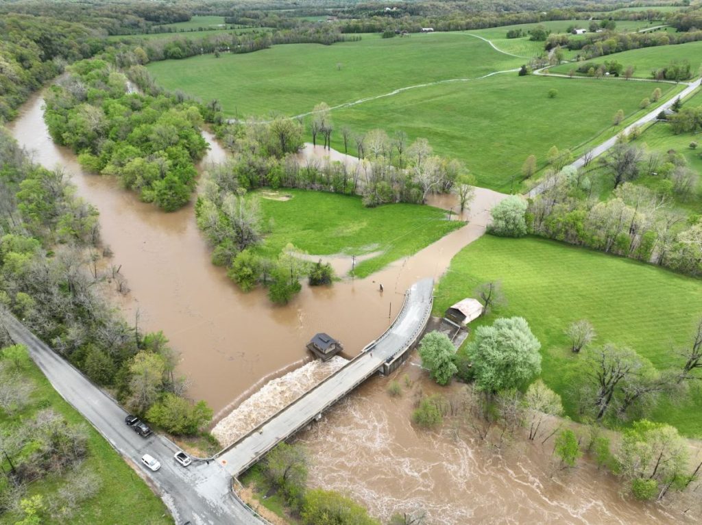
9:45 a.m. UPDATE: Broadcast media is reporting Bennett Springs campground has been evacuated. Rescuers have helped people out of cabins. The water was low enough the occupants were able to walk out. The river went into minor flood stage at 2:15 a.m. Thursday and major flood stage at 5:30 a.m.
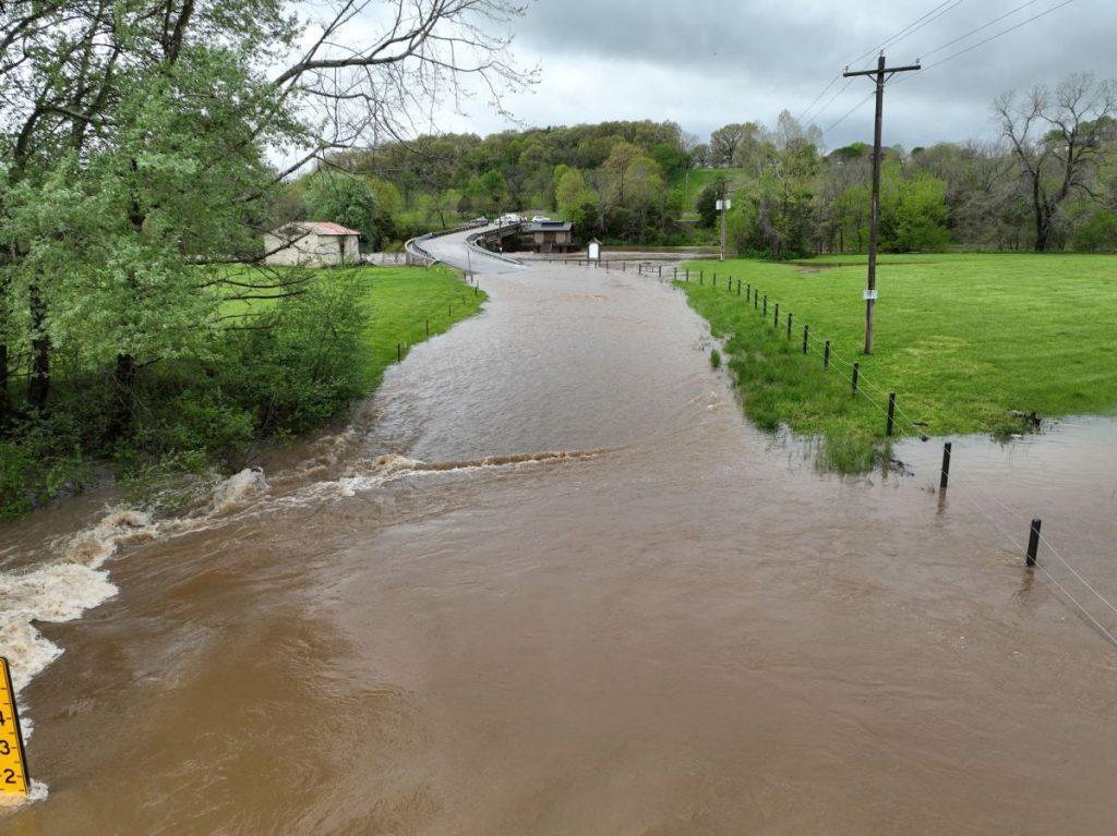
Thunderstorms have brought heavy rain to the Ozarks, leading to flash flooding in a number of areas.
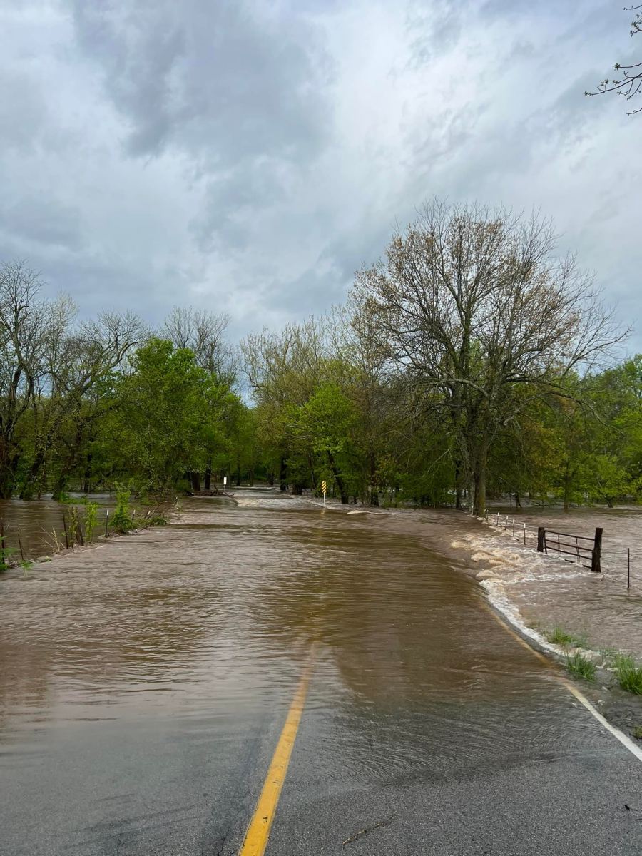
A number of roads in southwest Missouri are impassible. We’ve had several roads closed, and several fire departments have been busy with water rescues.
Water rescues have taken place at Highway CC and Farm Road 139 north of Ebenezer, Farm Road 156 northwest of Battlefield, near South Greenfield at Farm Road 132 and 143, and Highway C at the Polk/Dallas County line.
Park managers ordered the evacuation of Campground #3 at Roaring River State Park near Cassville overnight because of high water.
We’ve had reports that Tracker Road west of Highway 160 in the Nixa area is impassible.
Some of the many road closings include Highway AA west of Halfway, Highway CC west of Fair Grove, Highway A near Diggins, and Highway V near Flemington.
A Flood Warning is in effect until 6:00 p.m. Thursday for Greene and Polk Counties. Nearly four inches of rain has fallen in the Springfield area since Wednesday morning, and flooding of rivers, creeks, streams and low water crossings will continue.
A Flood Warning is also in effect until 6:00 p.m. for Christian, Douglas, Laclede, Stone, Taney and Wright Counties.
We’ve had around 3.8 inches of rain in Springfield since Wednesday morning, and here are some other totals coming in from the National Weather Service:
6.32 inches—-west of Galloway (Greene County)
4.10 inches—-Marshfield
5.59 inches—-Eudora (Polk County)
4.10 inches—west of Bolivar
4.28 inches—-northwest of Pleasant Hope
5.35 inches—-Morrisville
6.05 inches—-Seneca
4.38 inches—-Mt. Vernon
4.54 inches—-Lebanon
4.85 inches—-Bennett Springs
4.87 inches—-northeast of Carthage
5.43 inches—-northwest of Carthage
4.92 inches—-Joplin
5.84 inches—-southeast of Battlefield
5.91 inches—-northeast of Springfield