We’re in for a wild next 24 hours of weather in the Ozarks.
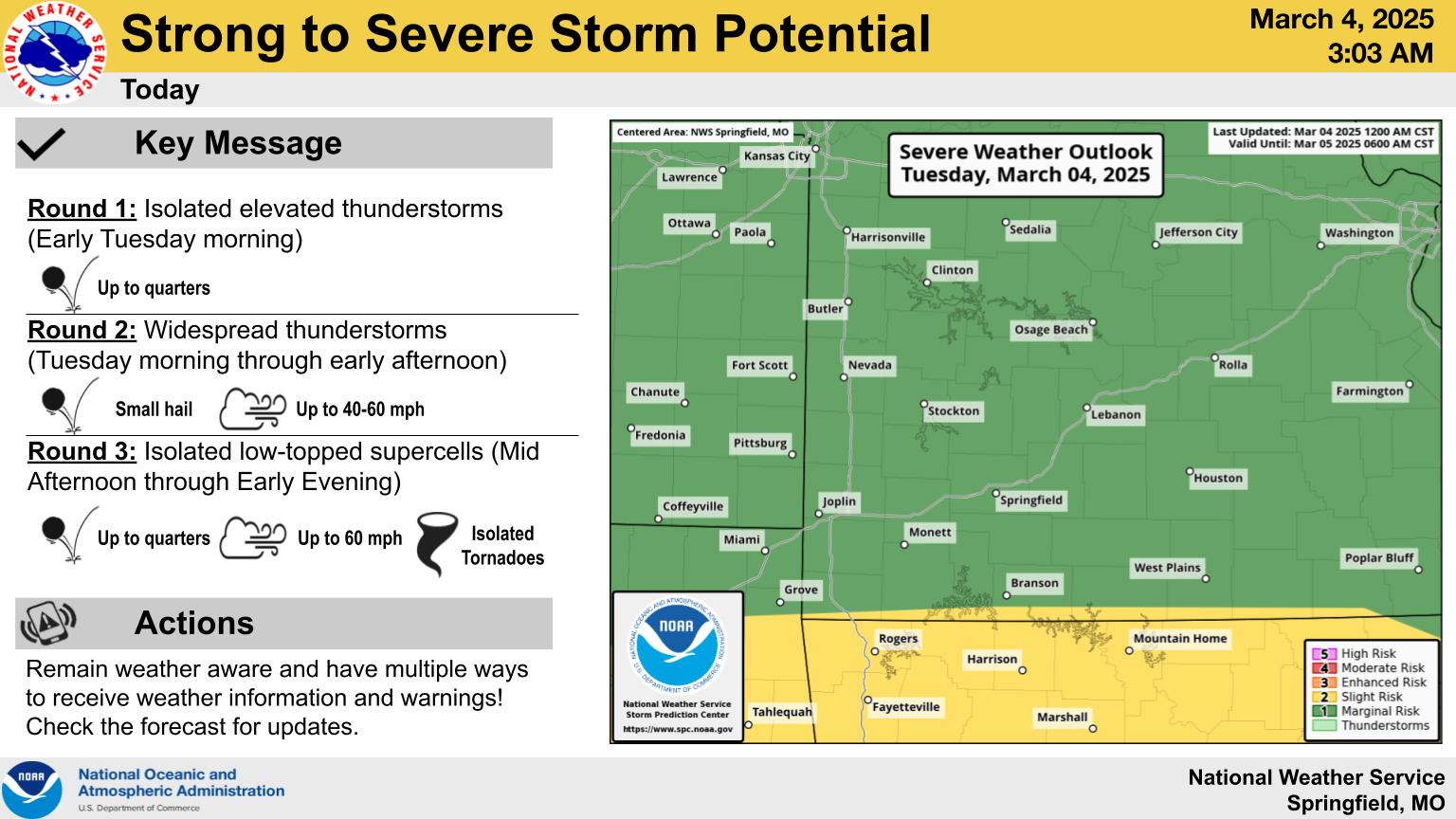
The National Weather Service says there’s a marginal severe storm risk for much of southwest Missouri on Tuesday.
The next window for severe weather will be roughly between 3 and 6 Tuesday afternoon.
A Severe Thunderstorm Watch that was in effect for areas south of I-44 through 11am was cancelled early as storms moving in from northeast Oklahoma showed a weakening trend.
Large hail, damaging winds and tornadoes are all potential hazards with any storms that develop.
A Wind Advisory is in effect from Tuesday night into Wednesday, with gusts of 40 to 55 miles per hour.
Rain will turn to snow as we had into the overnight hours Tuesday night, with a dusting to 1.5 inches of snow accumulation on elevated and grassy surfaces.
This could lead to some slick roads Wednesday morning.
We’ll keep you up to date with the latest weather conditions on 93-3 and A-M 560 KWTO.