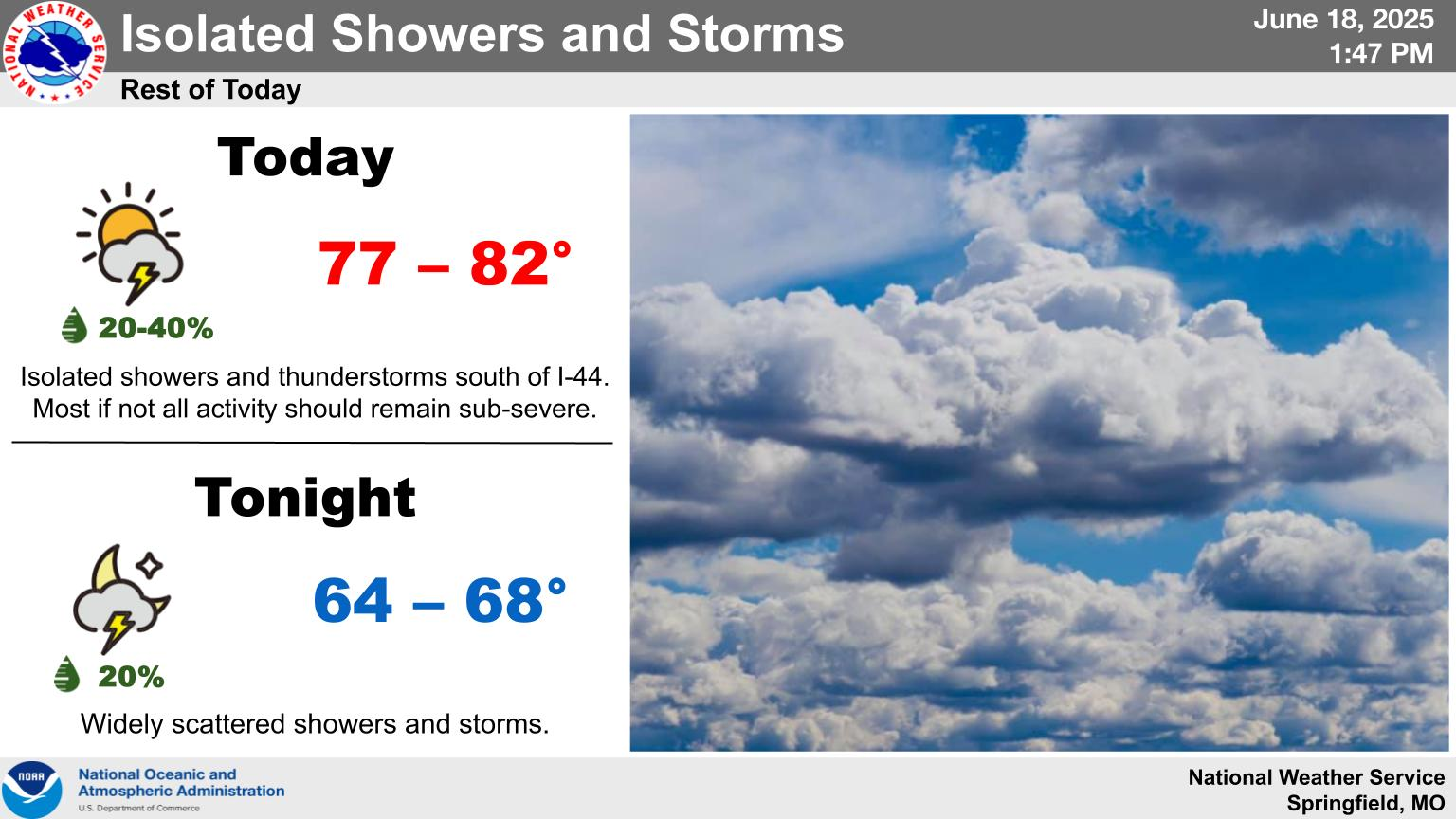
Wednesday 6:00pm UPDATE: The National Weather Service says while isolated to scattered thunderstorms are possible through Wednesday evening and overnight, the severe weather risk is low.
Forecasters say evening storms may be marginally severe south of I-44.
Original Story: After a few severe storms moved through far southwest Missouri overnight, a second round of severe weather is possible Wednesday afternoon and evening.
The National Weather Service says the highest potential for bad weather is in the far eastern Ozarks, east of a line from West Plains to Houston.
A Level 3 “enhanced risk” is in place for this area.
Damaging winds up to 60 to 70 miles per hour, large hail up to the size of half dollars, and a very conditional threat for short, weak spin-up tornadoes.
Areas south of I-44 are under a Level 2 “slight risk” for severe storms, with Springfield and communities north of the interstate looking at a Level 1 “marginal risk.”
Listen for severe weather updates on 93-3 and AM 560 KWTO.