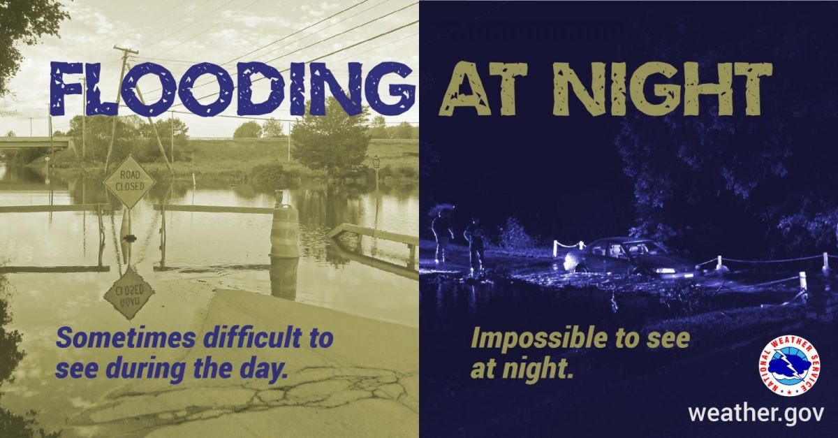
Damaging winds, hail up to the size of golf balls and torrential rainfall producing flash flooding have accompanied storms that moved through the Ozarks Saturday evening into Sunday morning.
Several parts of the Ozarks, including the Springfield metro area, had already received 2-4 inches of rain by 2:15am Sunday, with some parts of the Ozarks getting up to a half foot of rain.
We’ve had numerous reports of flooded and washed out roads, including the Panther Creek bridge near Fordland being washed out, with the north Dry Sac River off Highway CC near Ebenezer flooded and impassible.
State Highway ZZ in Rader at Wildwood Drive is closed, where the Conway volunteer fire department responded to an Amish buggy in the flood waters.
Six occupants were rescued from the water at that location.
Conway fire is also reporting the driver of a vehicle was rescued by neighbors at Highway J, three miles east of Morgan.
In Fair Grove, one adult and a child are safe after being rescued from a river off Highway CC while clinging to a tree. Rescue crews couldn’t find the victims’ vehicle right away, but then heard screams for help in the distance. The Springfield Fire Department assisted in that rescue.
Highway 123 closed Sunday morning at Cave Springs in Greene County due to water over the road.
Highway Z is closed southeast of Fordland due to flooding of Finley Creek.
Flooding in Webster County has caused a creek to overflow in the Northview area, with yard and basement flooding.
State Highway Y west of Ava has been closed early Sunday morning due to flooding of Cowskin Creek, and Highway FF east of Ava is closed because Hunter Creek is flooded.
Also in Douglas County, several large tree limbs are down and a tree in the highway near Brushyknob.
Golf ball size hail was reported in the Cabool area, with quarter size hail reported as the storms moved through Northview.
Up to tennis ball size hail was a threat with storms moving through parts of Hickory and St. Clair Counties north and west of Springfield.
We set a daily rainfall record in Springfield, with 2.46 inches for June 8th, breaking the old record of 1.48 inches set in 1907.
Original Story: Storm began firing north of Springfield late Saturday afternoon, with a Severe Thunderstorm Watch in effect for all of southwest Missouri until 1:00 a.m. Sunday.
The National Weather Service says isolated to scattered storms Saturday evening will increase in coverage late at night, with all modes of severe storms possible, including large hail and damaging winds.
There is a low end, conditional threat for a couple of tornadoes.
In addition to the severe weather threat, flash flooding is a concern with multiple rounds of training thunderstorms.
A Flood Watch is in effect from 7 p.m. Saturday through Sunday afternoon.
Forecasters say training thunderstorms will lead to widespread rainfall amounts of 2-3
inches, with locally higher amounts up to 5-7 inches possible. This will lead to
flash flooding, including potential for considerable flash flooding where higher
amounts occur.
The location of greatest rainfall remains uncertain. There will also probably be a
cutoff in rainfall amounts to the southwest, but that location is also
uncertain.
Here’s the latest update on severe weather and flooding impacts from the National Weather Service:
Listen to 93-3 and A-M 560 KWTO for the latest updates on severe weather warnings, as well as damage reports and other life-saving information from emergency managers and the National Weather Service.

