9:30 a.m. UPDATE: The Winter Weather Advisory has been cancelled by the National Weather Service for Cedar, Dade, Hickory and St. Clair Counties, but remains in effect for much of the rest of the Ozarks through noon on Thursday.
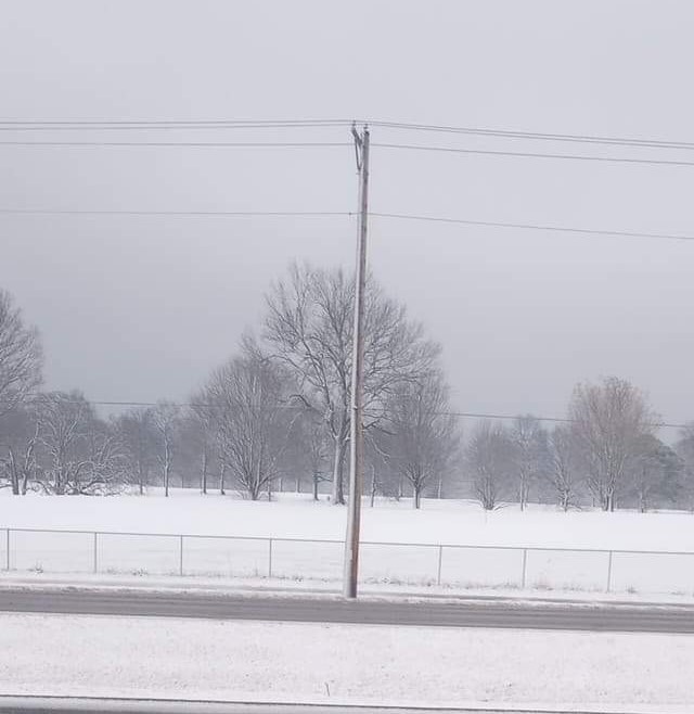
A band of snowfall moved through parts of southwest Missouri Thursday morning, with moderate to heavy periods of snow.
The National Weather Service has issued a Winter Weather Advisory until noon for all but our far western counties in the Ozarks.
The weather service says two to four inches of snow have fallen in the Lake of the Ozarks region, with some higher amounts, and one to two inches are expected along the I-44 corridor.
Rain began changing over to snow in the Springfield area just after 7:30 a.m.
Forecasters say minor accumulations of an inch or less are expected in Springfield, with higher amounts of two to three inches from Nevada to Clinton, Warsaw, Osage Beach and Lebanon.
We’ve received reports of numerous slide-offs and wrecks across central Missouri.
The weather service says some of this will melt as it falls, leaving lighter slushy accumulations.
Additionally, winds gusting up to 30 to 40 miles per hour will occur at times behind a cold front through Thursday.
Here are the snow amounts we’ve received:
Stover (Morgan County): 5.0 inches
Lake Ozark: 3.0 inches
Osage Beach: 2.0 inches
Edwards (Benton County): 3.0 inches
Ash Grove: 0.5 inch
Cole Camp (Benton County): 2.0 inches
Bolivar: 0.5 inch
Hermitage: 2.0 inches
Nevada: 0.5 inch
Urbana: 3.5 inches
Lebanon: 0.5 inch
Nixa: 1.0 inch
Warsaw: 0.7 inch
Carl Junction: 0.5 inch
Lockwood: 1.5 inches