
A strong storm system will move into the Ozarks Monday afternoon and evening, bringing showers and thunderstorms to the area.
The National Weather Service says heavy rain will be likely, especially south and east of Springfield, which could lead to some flooding, especially in low lying areas.
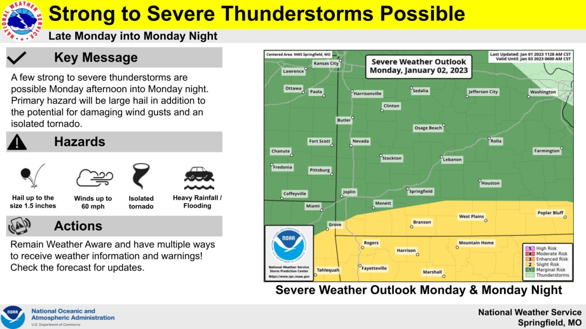
There is also a risk for a few strong to severe thunderstorms from Monday afternoon through the evening.
Forecasters say the primary hazard will be large hail, but all modes of severe weather are possible, including damaging wind gusts and an isolated tornado.
The strongest storms should be moving through the Springfield area around 9 p.m. Monday, with the Joplin area seeing storms as early as 3-6 p.m., with the heaviest storms around 6:00 p.m.
The weather service says rain amounts could range from a half inch to three quarters of an inch in the Springfield area, with heavier amounts of one to 1.5 inches near West Plains.
Areas south of Springfield area under a level two “slight risk for severe storms,” with areas north of Highway 60 under a level one “marginal risk.”
The greater severe weather threat will be in Arkansas.
We’ll have the latest watches and warnings on 93-3 A-M 560 KWTO.