12:55 p.m. UPDATE: The Springfield City Utilities outage map is now showing fewer than 500 customers, with just over 300 outages south of James River Freeway off of Campbell.
12:25 p.m. UPDATE: The Winter Weather Advisory is being allowed to expire at noon for counties west of Highway 65 as most of the freezing precipitation has moved east of the highway. Also, more than 1,400 Springfield City Utilities customers south of James River Freeway along Campbell Avenue and surrounding neighborhoods lost power late Monday morning. The outage was caused due to tree contact with a wire. Earlier, around 600 customers in the central part of the city lost electricity, but power has been restored in that area.
11:00 a.m. UPDATE: Springfield City Utilities says it’s starting Monday’s C-U Transit operations at 12:00 p.m., with buses departing from the Transit Center at that time. Due to road conditions, travel times may be affected.
9:00 a.m. UPDATE from the National Weather Service: Back edge of the precip is near the Kansas line, however light precip still stretches down into Oklahoma. Therefore, several more hours of this precip is expected. Temps have reached near freezing at Joplin and a few other locations but most places are still below freezing. Given the cold ground, even 32 degree air temps will still likely cause ice accretion. Have not heard of any ice accumulations over 0.20in yet.
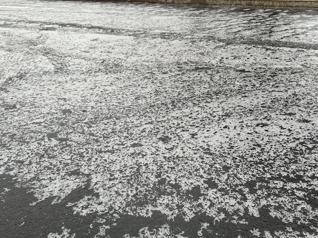
Original Story: Travel is hazardous across the Ozarks Monday morning as freezing rain continues to fall.
A Winter Weather Advisory remains in effect until 3 p.m. Monday for much of southwest Missouri, while areas south and east of Springfield (Christian, Webster, Wright, Douglas, Ozark, Howell and Texas counties) are under an Ice Storm Warning.
The National Weather Service measured .10 inch of ice at 6:00 a.m. at its office in northwest Springfield, and forecasters say areas northwest of I-44 can expect a glaze to .10 inch of ice, with areas southeast of I-44 getting anywhere from .10 to .30 inch.
Areas in the higher terrain south of I-44 in the Ice Storm Warning may see anywhere from .25 to .40 inch of ice, and combined with south winds gusting up to 20 to 30 miles per hour, localized power outages and tree damage are possible.
Freezing rain is expected to turn to rain by late afternoon, with road conditions improving for the evening commute.